
. > WHAT'S NEW > BOOKS
A study of ancient land registration systems
Author : ZHONG WEIMIN Source : Chinese Social Sciences Today 2023-08-24
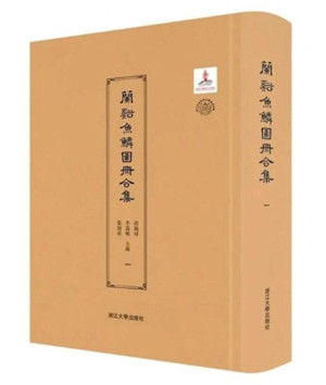
A Collection of Lanxi Fish Scale Maps
Yulin Tuce [fish scale map registers] represent critical historical literature for the study of primary-level social and economic systems in late imperial China. Under the chief editorship of Zhang Yongquan, a senior professor of liberal arts at Zhejiang University, and others, the publication of A Collection of Lanxi Fish Scale Maps is of immense academic value.
As a basis of ancient national economic systems, taxation and conscription relied on the effective management of land and population. It required the state to establish primary-level social order through household and land registration. Land tax was the major source of national revenue in ancient China, which was still predominantly agrarian. To ensure the collection of land tax, it was essential for the government to conduct comprehensive surveys to accurately record the amount of land in different locations.
Since the establishment of the yulin tuce system in the Southern Song Dynasty (1127–1279), it remained the basic national system throughout Yuan (1271–1368), Ming (1368–1644), Qing (1644–1911), and the Republican Era (1912–49). However, few fish scale maps and books survive to this day, and those that have survived are frequently found interspersed with other contract documents. The ancient system has not attracted extensive attention from scholars, many of whom doubt the authenticity of its existence.
The discovery of yulin tuce in Lanxi, Zhejiang Province, completely dispelled these doubts, while this major publication further provides the essential conditions to probe into ancient land tax systems, even enabling the detailed reconstruction of the yulin tuce system, including the dimensions and quantities of land when these maps were made. More importantly, the fish scale maps of Lanxi during the reign (1861–75) of Tongzhi Emperor of Qing represent the most systematic and complete land registers preserved to date at the county level, thereby offering an ideal sample of what was actually used by the government at that time.
The Lanxi fish scale maps comprise information systems of land, households, and collateral materials. They serve as an encyclopedia for understanding ancient primary-level society, offering a wealth of information ranging from land property rights, farmland systems, irrigation and water conservancy, tenancy relations, land transactions, tax collection and conscription, clans, environmental changes, religious beliefs, folk associations, and even local customs. These materials provide a fresh perspective on state governance during the late imperial period, and the relationships between the central and local authorities, as well as the government and the public.
Zhong Weimin is a professor from the Department of History at Tsinghua University.


Ye Shengtao made Chinese fairy tales from a wilderness
Ye Shengtao (1894–1988) created the first collection of fairy tales in the history of Chinese children’s literature...
>> Read More


-
How northern ethnicities integrated into Chinese nation
2023-09-18
-
Mogao caves
2023-09-12
-
Mogao Grottoes as ‘a place of pilgrimage’
2023-09-12
-
Time-honored architectural traditions in China
2023-08-29
-
Disentangling the civilizational evolution of China
2023-08-28
-
AI ethics in science fiction
2023-08-23
 2011-2013 by www.cssn.cn. All Rights Reserved